Paulina Peak
CN93iq
(Last update May 21, 2019 )
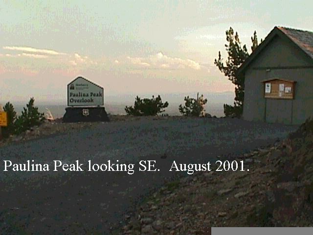
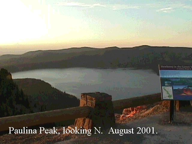
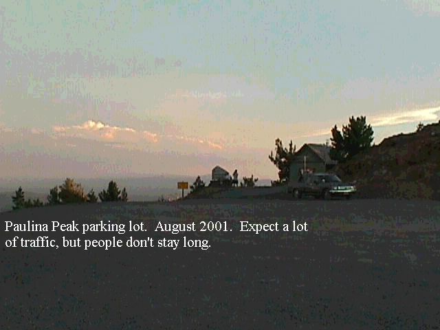
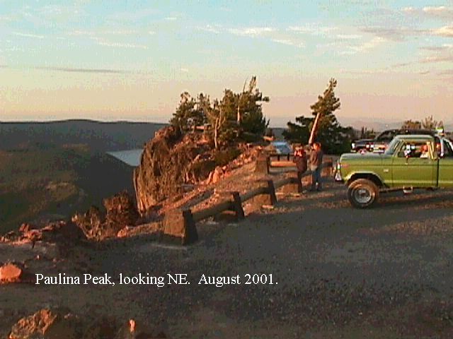
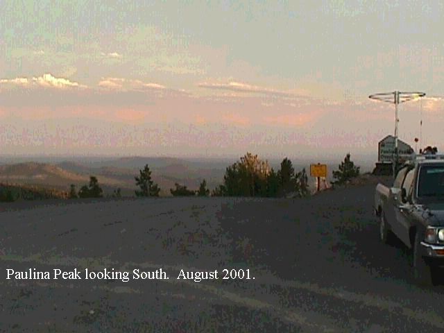
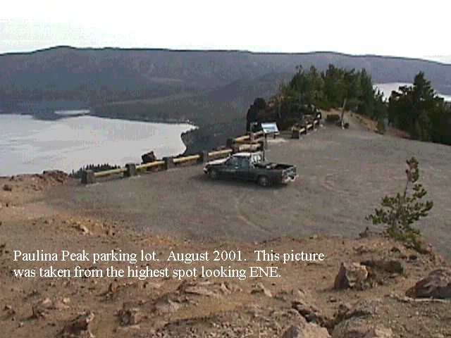
General. This is one of the premier operating locations in the state. Paulina Peak is the very top (and I mean the VERY TOP) of what was a pretty fair mountain until it turned into a volcano a few years back. The road to the peak is quite good, and passenger cars make it with no problems. There are no microwave towers in the way, and they even provide restrooms at the top. There are excellent paths in all directions with no obstructions. At the very top there is a gravel parking lot that will accommodate 15 or 20 vehicles. There is a high point to the SE slightly blocking the path, but other than that things are wide open.
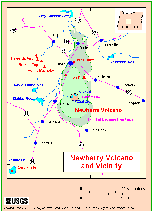
Paulina Peak is in the Newberry National Volcanic Monument, a major recreation area in Central Oregon. Below the peak there are numerous campgrounds, at least two resorts and two large lakes. The resorts offer cabins, RV parks, showers, etc. Map of Newberry Caldera Area in PDF. Map of Newberry National Volcanic Monument in PDF. USGS Map of Newberry Volcano area. Washington State University Quadrangle Map. Link to Photo of Peak from the north.
Driving Instructions: From Hiway 97 south of bend, Take the Newberry-Paulina road to the east. It is well marked. Go uphill about 11 miles to the guard station. You will have to pay a $5 day use fee to park on the peak. These passes are available at the entry guard station or at the Ranger Station. The road to the peak is opposite Paulina Lake Campground at about mile 13. It goes to the right (south) Motorhomes and trailers are prohibited. This is a one lane road with turnouts.
Links to Newberry Volcano and Paulina Peak sites:
USGS Descutes and Ochocho National Forests