Mt. Kobau
(Courtesy of K7CW)
DN09dc
(Last updated May 26, 2008)
General. Northwest of Lake Osoyoos in the southern part of the Canadian Okanogan.
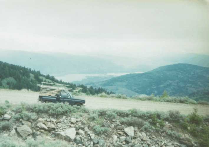
Driving Instructions: The road is well marked from the highway and is 12 miles of gravel to the viewpoint. In the photo, the U.S.-Canada border can be seen on the far right, above the lake. You can see Lake Osoyoos in the photo.
Per VE7FO, the junction of highway and road up the mountain is N
49 deg 04.874' min W
119 deg 35.679 min, and the Parking lot at the top is N 49 deg 06.791 min
W 119 deg 40.401 min DN09.