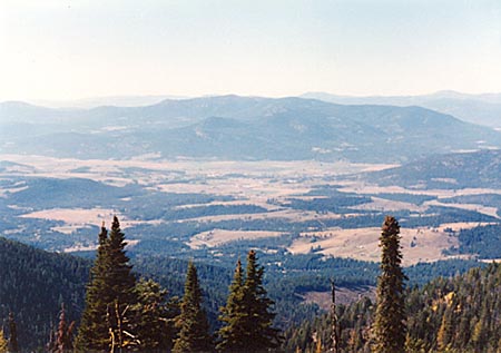
Old Dominion Mountain
(Courtesy of WR7X)
DN18
Last update January 05, 2003
General. Once a fire lookout site, open rocky summit with no nearby obstructing peaks. Somewhat shielded toward the southeast by Calispell Peak (6800') about 10 miles away.
Driving Instructions. Take Aladdin Road one mile east of town at the airport. It heads north and east about 8 miles to the South Fork Mill Creek FS Road. About 3.5 miles turn right on FS 9411, about 3 miles to hard right turn on FS 130, which switchbacks up the east, then south, side of the mountain. Road wraps all the way around the west and north near the top. Road is narrow and rocky with few pullouts. Ample room to turn around at the top.